Many projects depend on thorough ground investigation to inform your design choices and to identify unforeseen ground hazards; by characterising soils, groundwater and load-bearing capacity — and assessing contamination risk — you can minimise risk, optimise foundation solutions and avoid costly failures, ensuring regulatory compliance and durable construction outcomes.
Objectives and Regulatory Framework
You use ground investigation to confirm bearing strata, quantify settlement, identify contamination risks and scope remediation so your foundations and services avoid surprises; typical programmes for industrial plots include boreholes to 10–30 metres, CPTs, ground gas monitoring and contamination screening. Reports must satisfy designers and regulators and align scope with operational loads, environmental liabilities and statutory expectations.
Project objectives, risk reduction and deliverables
You should define clear objectives: confirm foundation depth, assess liquefaction or swelling clays, identify potential contaminants and determine whether remediation or disposal constraints apply. Typical field spacing is 25–50 m for large yards, with samples every 2 m and CPT intervals of 0.2–1.0 m. Deliverables include borehole logs, laboratory triaxial and consolidation results, contamination testing, settlement estimates, design parameters and where required a remediation strategy or piling specification so your contractor can price and programme accurately. Where material is to be removed off-site, Waste Acceptance Criteria (WAC) testing may be required to classify soils for disposal.
Standards, codes and statutory requirements
You must comply with BS 5930:2015 for site investigation, BS EN 1997-1 (Eurocode 7) for geotechnical design, BS 8485 for ground gas, CDM 2015 duties and Environment Agency planning or permit conditions; contaminated land considerations may also fall under Part 2A of the Environmental Protection Act and planning remediation conditions. Failure to meet these can trigger planning refusals or enforcement. Always check local authority constraints and permit regimes for dewatering, intrusive works or soil disposal.
For implementation, you need UKAS-accredited testing, robust chain of custody and gas monitoring often over 4–12 weeks to capture variability. Eurocode 7 requires characteristic values and partial factors, so your investigation must supply reproducible parameters; experienced geotechnical and environmental input reduces claims, manages contamination liability and supports compliance.
Desk Study and Site Characterisation
You should collate BGS sheets, Environment Agency flood maps, historic landfill registers, planning archives and historic Ordnance Survey plans to define likely ground and contamination conditions before visiting site. Use LiDAR, aerial photography and geological mapping to spot mine workings, made ground, peat or former industrial use that could affect design or introduce contamination risk.
Preliminary site model and reconnaissance
Build a preliminary site model (PSM) mapping anticipated stratigraphy, groundwater, contaminant pathways and receptors, then validate it with a walkover to note odours, staining, depressions or vegetation indicators of seepage. Prioritise intrusive locations where the PSM predicts hazardous made ground, shallow groundwater or contamination hotspots.
Field Investigation Techniques
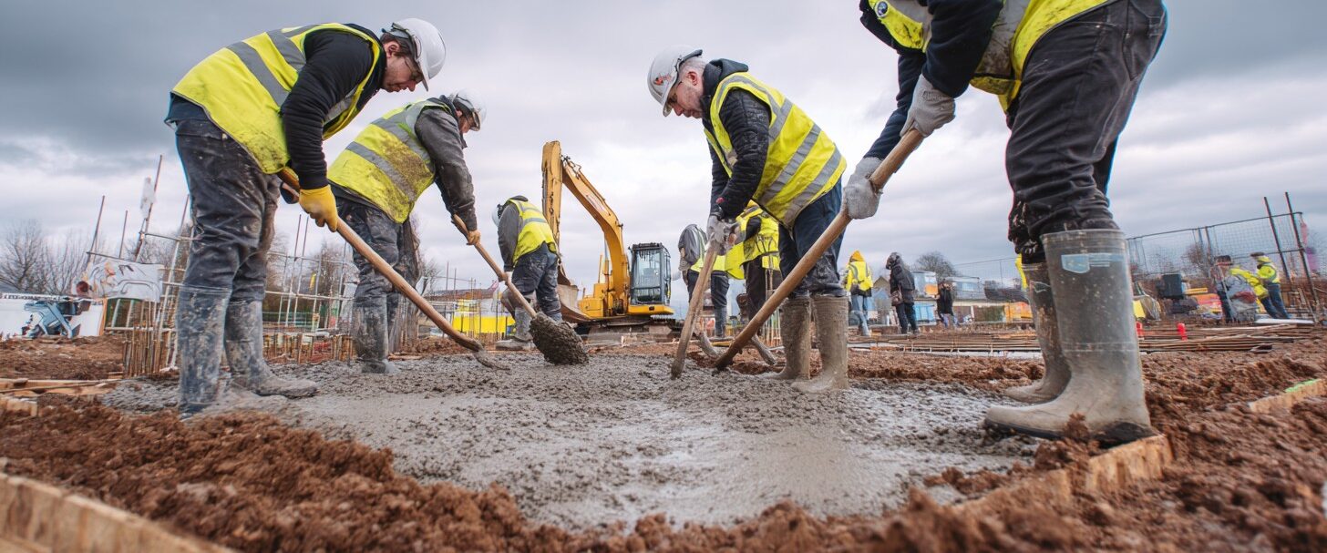
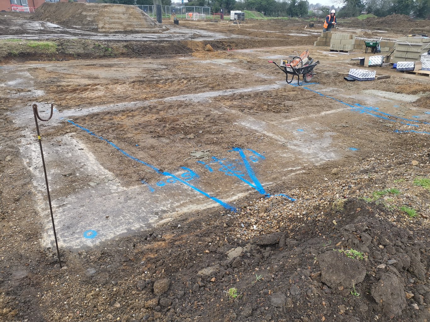
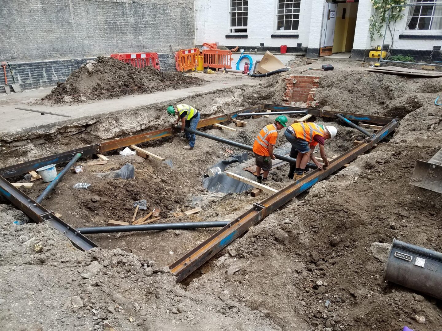
Adopt a staged approach combining trial pits, boreholes, CPT and targeted contamination sampling. Boreholes typically extend 10–30 metres for medium projects while trial pits expose near-surface issues such as buried services or made ground. Flag hazardous gas, contamination or voids early to avoid costly redesign or remediation delays.
Drilling, sampling and in-situ testing methods
Deploy rotary boreholes with undisturbed sampling at 0.5–1.0 m intervals; use SPT and CPT testing for strength profiling. Disturbed samples at 1 m intervals are commonly taken for chemical and WAC testing where off-site disposal is anticipated.
Geophysical surveys and groundwater investigations
Use GPR, resistivity and seismic methods to map anomalies and stratigraphy. Install piezometers to track groundwater variation and assess contaminant migration risk. Run pumping tests where dewatering is proposed to derive transmissivity and predict discharge volumes.
Laboratory Testing and Data Interpretation
Expect index, strength and contamination testing under BS/EN standards. Derive stiffness, shear strength, consolidation parameters and contaminant concentrations, applying statistical treatment and UKAS quality controls.
Soil and rock index, strength and compliance tests
Rely on Atterberg limits, PSD, triaxial, CBR and UCS testing for design; include environmental testing for metals, hydrocarbons and leachate to support WAC classification where required.
Data quality and reporting
Combine visual logs with laboratory data, record repeat tests and contamination screening, and present parameters with uncertainty bounds. Poor QA or incomplete contamination assessment can materially affect settlement predictions, disposal routes and project costs.
Ground Modelling and Risk Assessment
Integrate geotechnical and contamination data into a 3D model, supporting settlement, groundwater and environmental risk analysis. Use probabilistic methods to quantify uncertainty and define mitigation such as grouting, piling, drainage, soil mixing or remediation works where required.
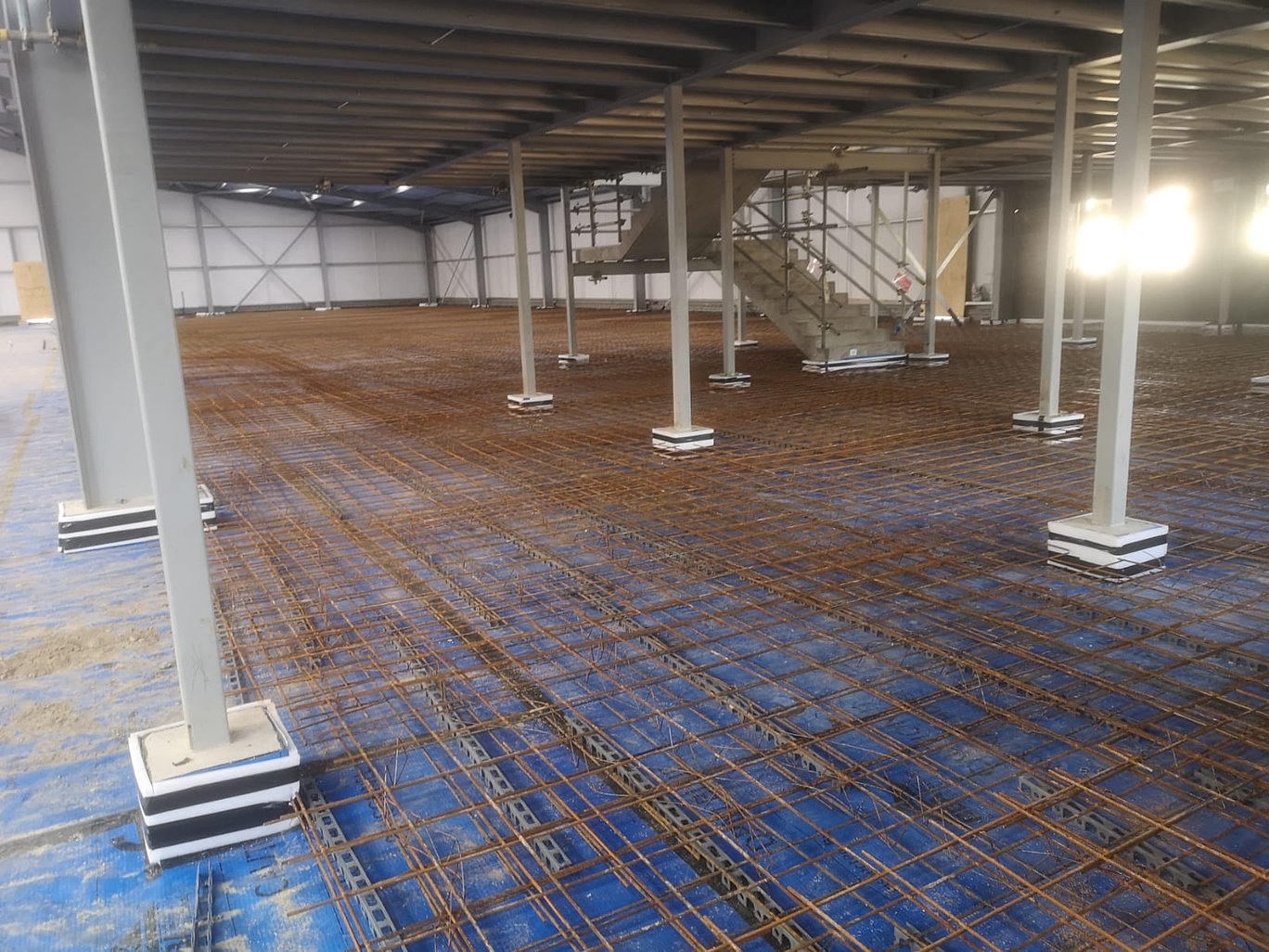
Design Integration, Construction and Monitoring
Use investigation outputs to define foundation type, remediation scope, earthworks volumes and contingency. Early identification of contamination directly influences phasing and disposal strategy.
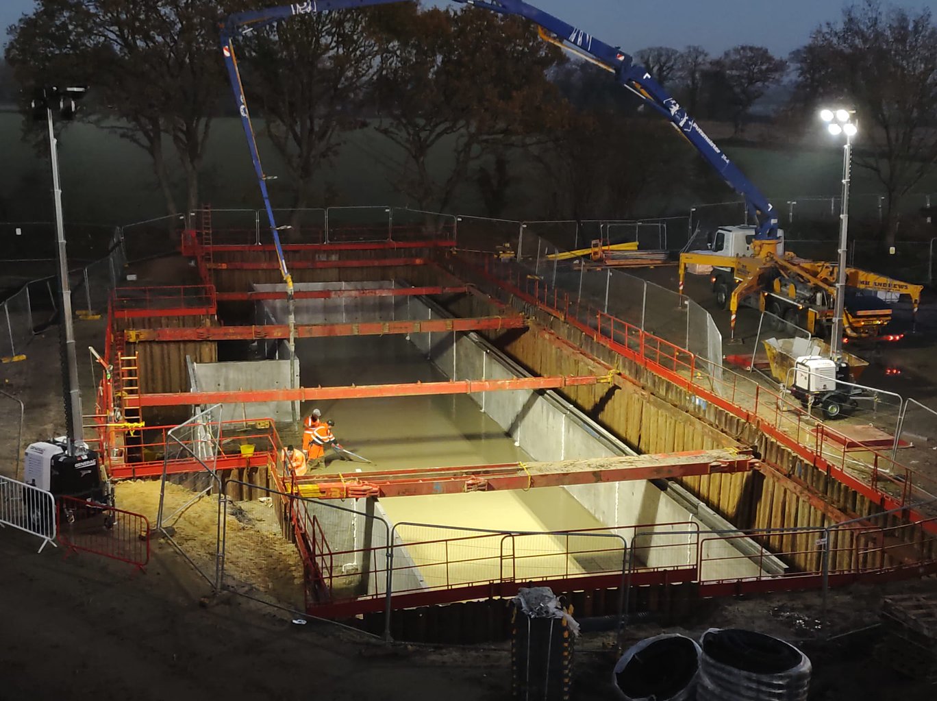
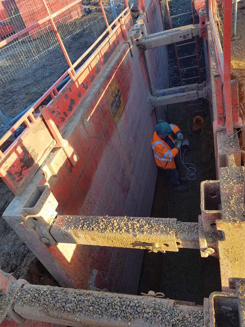
Construction monitoring, QA and value engineering
Implement instrumentation, compaction testing and remediation validation. Confirm disposal classifications through WAC where required and review value engineering options such as ground improvement or revised earthworks strategies while maintaining compliance.
Final Words
Thorough ground investigation underpins sound civil engineering: it informs design, mitigates geotechnical and environmental risks, guides remediation and disposal strategy, and controls cost and programme. By relying on accurate site data and expert interpretation you improve safety, optimise foundations and reduce unforeseen complications across the project lifecycle.